
Blog
Harris County Flood Control Requirements and Your Wastewater System: How Detention Design Affects Treatment Plant Siting
Harris County detention requirements compete with wastewater treatment plant siting. Learn how to coordinate both before your site plan is locked in.
Quick Answer
Wastewater infrastructure siting in Harris County has to account for stormwater detention and floodplain requirements from the earliest site planning stages, not as a downstream constraint to work around once the wastewater system is already designed. Detention pond sizing under Harris County Flood Control District criteria can require a significant percentage of a site’s total acreage, floodplain mapping may restrict where structures and equipment can be placed or require elevated finished floor elevations, and drainage easements and routing can occupy the same low-lying, gravity-favorable areas that make the most engineering sense for a treatment plant or lift station. A site that appears to have adequate acreage for both detention and wastewater infrastructure on a preliminary sketch can turn out to have a much tighter and more constrained layout once actual detention volume calculations, floodplain boundaries, and drainage easement requirements are mapped against each other, which is why these two disciplines need to be evaluated together, by coordinated civil, drainage, and wastewater engineers, during initial site planning.
Why Detention and Wastewater Compete for the Same Ground
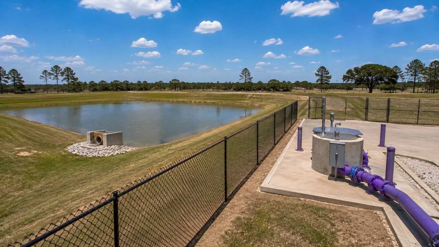
Harris County’s flat topography and history of severe flooding have produced some of the most detailed and demanding stormwater detention requirements in Texas, administered by the Harris County Flood Control District in coordination with the applicable municipality or the county’s own development regulations for unincorporated areas. Detention pond sizing is calculated based on the site’s impervious cover, the pre- and post-development runoff characteristics, and the specific design storm criteria the Flood Control District requires, and for many Harris County sites, this calculation results in a detention requirement that consumes a substantial portion of the total site area, particularly for denser commercial and residential developments where impervious cover is high relative to the overall parcel size.
Wastewater treatment plants, lift stations, and their associated infrastructure have their own siting logic that frequently points toward the same portions of a site that detention design also favors. Gravity sewer collection systems work most efficiently when the treatment plant or lift station sits at the lowest practical elevation on the site, minimizing the depth and cost of the collection system needed to convey wastewater to that point. Low-lying areas on a Harris County site are, for the same topographic reasons, often the areas most likely to fall within mapped floodplain boundaries or to be the natural location for stormwater to concentrate, which is exactly where a detention facility also wants to be located. A site plan that doesn’t explicitly resolve this competition between drainage engineering’s preferred location and wastewater engineering’s preferred location, before either system is finalized in design, is a site plan waiting to generate a conflict.
Floodplain Mapping and Its Direct Effect on Treatment Plant Siting
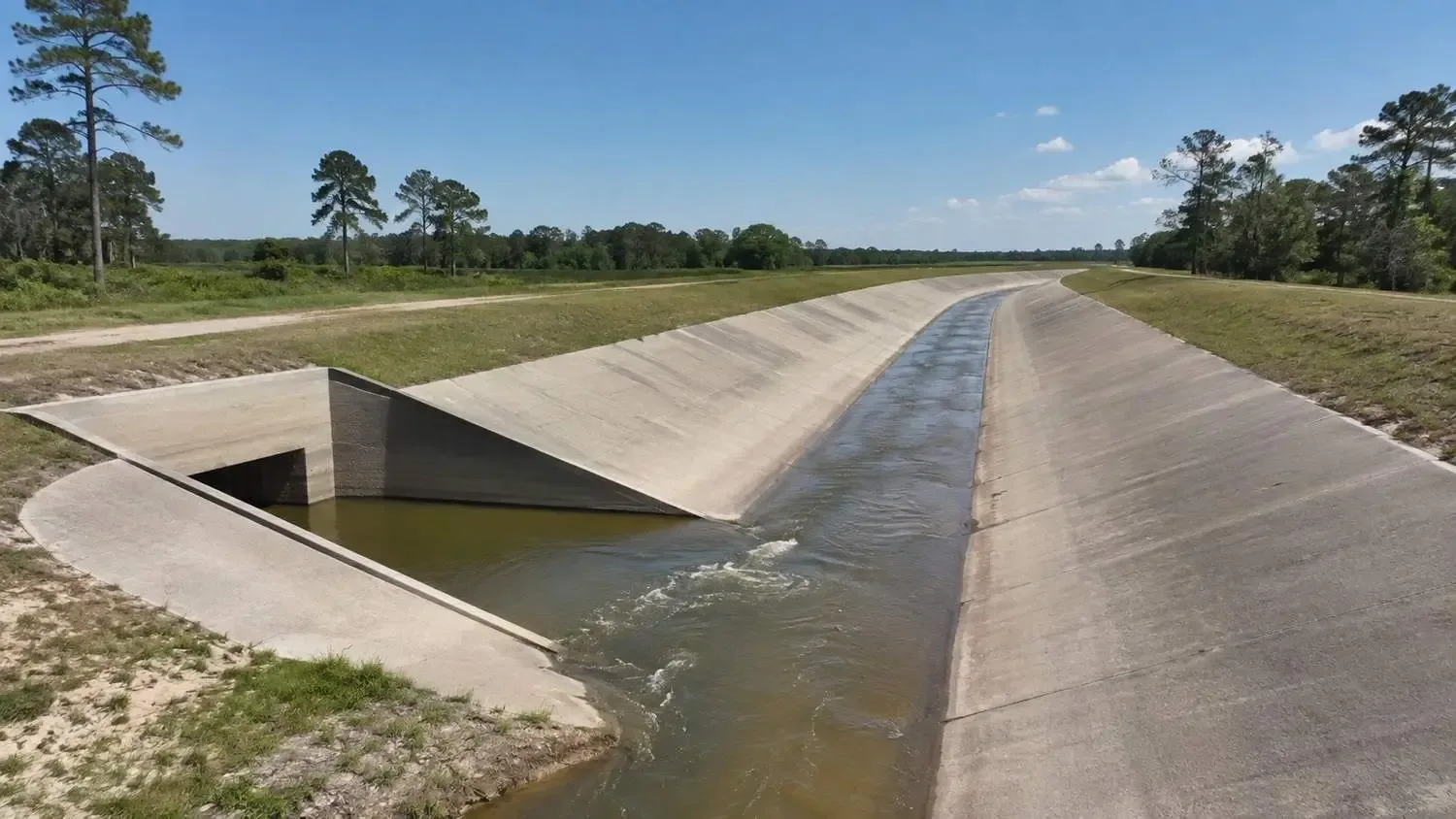
FEMA floodplain mapping, refined in many Harris County areas by the Flood Control District’s own more detailed hydrologic and hydraulic modeling, establishes base flood elevations and floodplain boundaries that directly constrain where and how a wastewater treatment facility can be constructed. A treatment plant located within the mapped floodplain faces both a regulatory hurdle, since floodplain development typically requires a permit demonstrating the facility won’t increase flood risk to surrounding properties and won’t itself be compromised by flooding, and a practical operational risk, since a treatment plant that floods during a significant storm event can experience equipment damage, loss of treatment capability precisely when the surrounding community’s wastewater generation continues regardless of the storm, and a potential environmental release of inadequately treated wastewater into floodwaters.
Harris County and most Houston-area municipalities require critical facilities, a category that typically includes wastewater treatment infrastructure, to meet minimum finished floor elevation requirements set above the base flood elevation, often with an additional freeboard margin beyond the base flood elevation itself to provide a further safety margin against flood events larger than the mapped base flood condition. For a treatment plant located in or near a floodplain, meeting this elevation requirement can mean elevating the entire facility on fill or a raised foundation, which adds construction cost and can affect the facility’s relationship to the gravity sewer collection system feeding it, since raising the treatment plant’s inlet elevation may require deeper upstream sewer lines or an additional lift station to overcome the elevation difference the flood protection requirement created.
Confirming a proposed treatment plant site’s floodplain status, and if it falls within or near a mapped floodplain, evaluating the specific finished floor elevation and floodproofing requirements that will apply, should happen during initial site planning, before the treatment plant’s location and the gravity collection system feeding it are finalized in the civil engineering design. A treatment plant location selected based purely on gravity flow efficiency, without floodplain status confirmed, risks a late discovery that the preferred location requires expensive elevation or floodproofing measures that change the facility’s cost and design significantly.
Detention Pond Sizing and the Land Competition It Creates
Harris County Flood Control District detention requirements are calculated using specific design criteria that account for the site’s contributing drainage area, the proposed development’s impervious cover, and the discharge capacity of the receiving drainage system, whether a roadside ditch, a bayou, or a piped storm sewer system. For many Harris County developments, particularly those in areas served by drainage systems with limited downstream capacity, the resulting detention volume requirement can be substantial, sometimes requiring detention facilities covering ten percent or more of the total site area depending on the specific development density and drainage conditions.
When a site’s detention requirement and its most logical wastewater treatment plant location both point toward the same low-lying area, the project team has to make an explicit decision about how to resolve that competition, and the options each carry tradeoffs. The detention facility can be redesigned to occupy a different portion of the site, potentially requiring more excavation or a different pond configuration if the alternate location has less favorable topography for gravity drainage collection. The treatment plant can be relocated to a less topographically ideal location, accepting the additional collection system cost, deeper trenching, or additional lift station that a less favorable location requires. Or, in some cases, the two facilities can be co-located with careful design coordination, positioning the treatment plant on elevated ground immediately adjacent to a detention pond, using the pond’s excavated material as fill for the treatment plant pad, which can be an efficient solution when the site’s grading is planned to accommodate both facilities together from the outset rather than sequentially.
Access Roads, Utility Corridors, and Emergency Operations During Storm Events
A wastewater treatment plant’s siting decision needs to account for more than its footprint and elevation. It needs reliable access for operators and maintenance personnel, including during and immediately after the storm events that Harris County’s drainage infrastructure is specifically designed to manage, since a treatment plant that becomes inaccessible during exactly the conditions when operator attention and system reliability matter most has a meaningful operational and regulatory compliance gap. Access road design should account for the road’s own flood resilience, evaluating whether the access route crosses any drainage feature or low-lying area that could be impassable during a significant storm event, and coordinating the access road’s elevation and drainage crossing design with the same floodplain and detention analysis governing the treatment plant site itself.
Electrical equipment supporting the treatment plant, including motor control centers, standby generators, and instrumentation and control systems, requires protection from flood exposure that goes beyond the structural finished floor elevation requirement applicable to the facility generally, since electrical equipment damaged by floodwater exposure can render a treatment plant inoperable even if the structure itself survives a flood event without significant damage. Elevating critical electrical equipment above the flood protection elevation, or in some cases housing it in a separate elevated structure connected to the main treatment process by appropriately protected conduit, is a design detail that should be addressed explicitly in facilities sited in or near flood-prone areas, rather than assumed to be adequately protected simply because the overall facility meets the general finished floor elevation requirement.
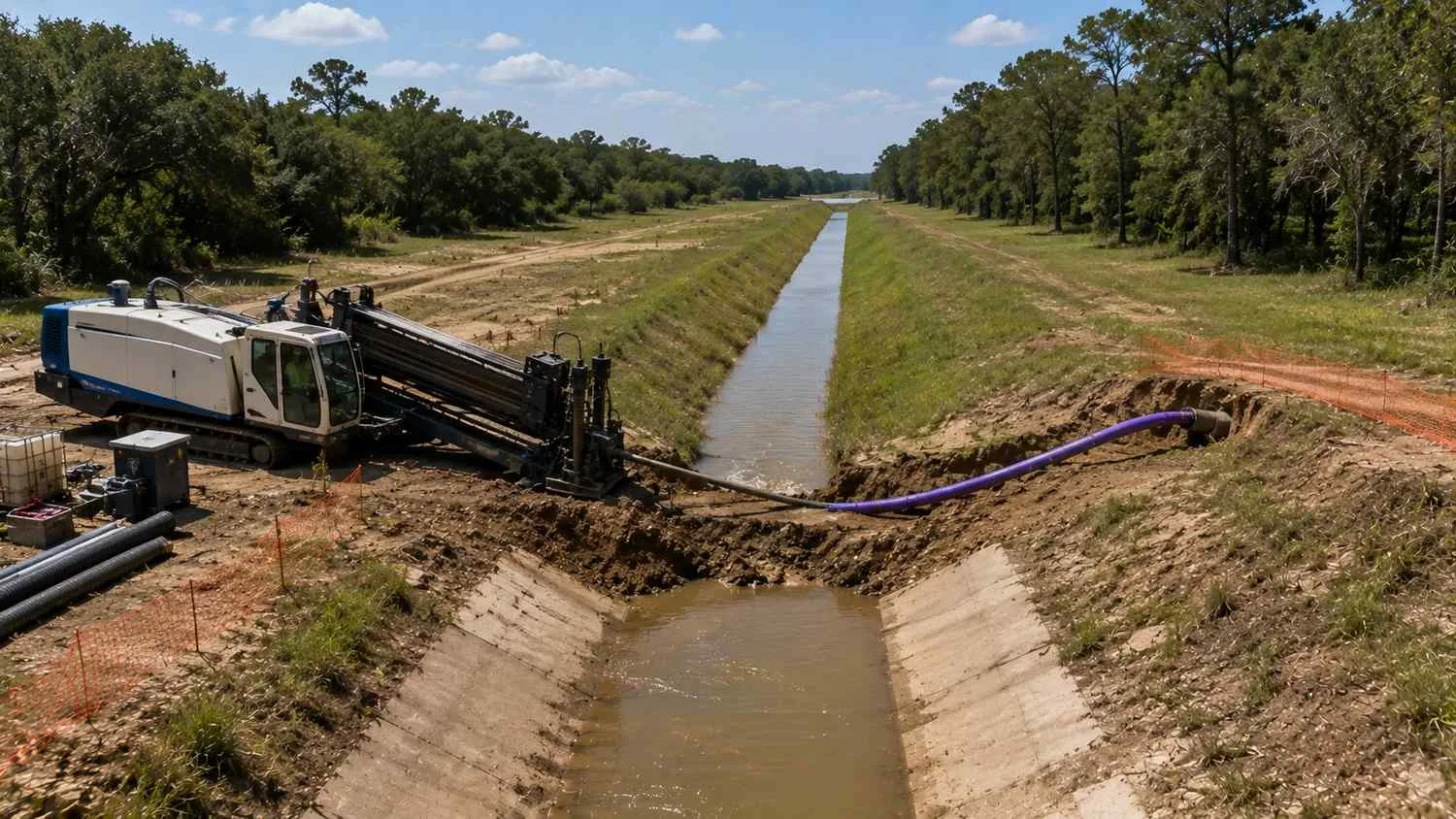
Utility corridor coordination, particularly for force mains and gravity sewer lines that must cross or run parallel to drainage easements, detention pond outfall structures, or floodplain areas, requires specific attention to how these different utility types share the same limited corridor space without creating maintenance access conflicts or design conflicts between the drainage infrastructure’s grading requirements and the sewer utility’s depth and slope requirements. A force main that needs to cross a Flood Control District drainage easement typically requires a separate crossing permit or agreement with the district, adding another coordination point and potential schedule item to the overall utility design and permitting process.
Setbacks and the Regulatory Overlap Between Flood Control and Wastewater Permitting
Harris County Flood Control District maintenance easements along its channels and detention facilities typically require setbacks that restrict what structures, including wastewater infrastructure, can be located within a defined distance of the district’s drainage facilities, to preserve access for the district’s own maintenance equipment and to avoid structures that could obstruct flow or be damaged by the district’s channel maintenance activities. These setback requirements need to be confirmed early for any site where a proposed treatment plant, lift station, or utility corridor is located near an existing Flood Control District facility, since a setback violation discovered during permit review, after the wastewater infrastructure’s location has already been finalized in construction documents, forces a redesign that could have been avoided with earlier coordination.
This regulatory overlap between the Flood Control District’s setback and easement requirements and TCEQ’s own wastewater facility siting and permitting requirements means a Harris County wastewater project frequently needs to satisfy two distinct regulatory frameworks simultaneously, each administered by a different agency with its own review process and technical standards, similar in structure to the multi-agency coordination challenges that airport adjacent and other overlapping jurisdiction development sites face elsewhere in Texas. Mapping both sets of requirements against the proposed site plan early, rather than sequentially, is the practical way to avoid discovering a conflict between the two frameworks after either agency’s review is already underway.
Frequently Asked Questions
How do we find out early whether our proposed treatment plant site falls within Harris County Flood Control District jurisdiction or a mapped floodplain?
The Harris County Flood Control District maintains floodplain mapping and infrastructure data through its online mapping tools, which should be reviewed for any proposed site during initial due diligence, before a specific treatment plant or lift station location is selected within the property. This preliminary review should be followed by a more detailed site specific floodplain and drainage analysis performed by a civil engineer as part of the overall site planning process, since floodplain boundaries and the district’s specific setback and easement requirements can require more precise field survey and hydrologic analysis than a preliminary online map review alone provides, particularly for sites near boundary areas where the designation may not be immediately clear.
Can we design our detention pond and treatment plant as a combined facility to save space, or does Harris County require them to be entirely separate?
Harris County does not generally prohibit co located detention and wastewater facilities, but the two systems need to be designed with clear separation of function and careful attention to how they interact, including ensuring the treatment plant’s finished floor elevation and flood protection measures are adequate relative to the detention pond’s design water surface elevation during its design storm event, and that maintenance access for both facilities is preserved without conflict. This co location approach can be an efficient use of site area when planned from the outset with both disciplines coordinated, but it requires more careful engineering than treating the two facilities as entirely independent, and should be evaluated specifically for your site’s grading and topography rather than assumed to work without a coordinated design study.
Our site’s most gravity efficient wastewater treatment plant location conflicts with our required detention pond footprint. What’s the typical resolution?
There is no universal answer, since the right resolution depends on your site’s specific topography, the relative cost of relocating the treatment plant versus redesigning the detention facility, and the schedule stage at which the conflict is identified. In general, identifying this conflict during initial site planning, before either system’s design is finalized, gives your engineering team the most flexibility to evaluate alternatives, including relocating one facility, modifying pond or plant configuration, or combining excavation and grading work to serve both facilities efficiently, and typically results in a lower cost resolution than discovering the same conflict after one or both systems have already been designed in detail.
Related Resources
- Hydraulic Modeling for Dallas High Rise Developments: Why Pressure Zone Design Matters More Than You Think
- Approved Plans Aren’t Always Optimized Plans: The Difference Can Cost $15 Million
- Land Application Permits in Texas: A Faster Path to Wastewater Approval for Developers
Coordinating Flood Control and Wastewater System Design for a Harris County Development?
MES works with Houston area developers, civil engineers, and project managers to evaluate floodplain and detention constraints alongside wastewater treatment plant, lift station, and force main siting, coordinate Harris County Flood Control District requirements with TCEQ permitting, and resolve drainage and wastewater conflicts before they force a late stage site plan redesign.
We specialize in:
- Combined drainage and wastewater site planning for Harris County and Greater Houston area developments
- Floodplain analysis and finished floor elevation coordination for wastewater treatment plant and lift station siting
- Harris County Flood Control District detention pond design coordinated with utility infrastructure placement
- Flood resilient access road, electrical equipment, and emergency operations planning for treatment facilities
- Utility corridor and easement coordination between force mains, gravity sewer, and Flood Control District facilities
- Multi agency permitting strategy for TCEQ wastewater approval alongside Harris County flood control requirements
Modern Engineering Solutions, Houston, Texas. Contact: (214) 833-6748 or mod-eng.com
Keep reading
More to read.
Talk to an engineer
Tell us about your project.
An engineer reads it
Not a salesperson. Someone who can tell you whether the pathway is real.
You get a first answer
Your options, the agencies involved and the questions that decide cost and schedule.
You decide
No commitment to have the first call.
Prefer the phone? (214) 833-6748