

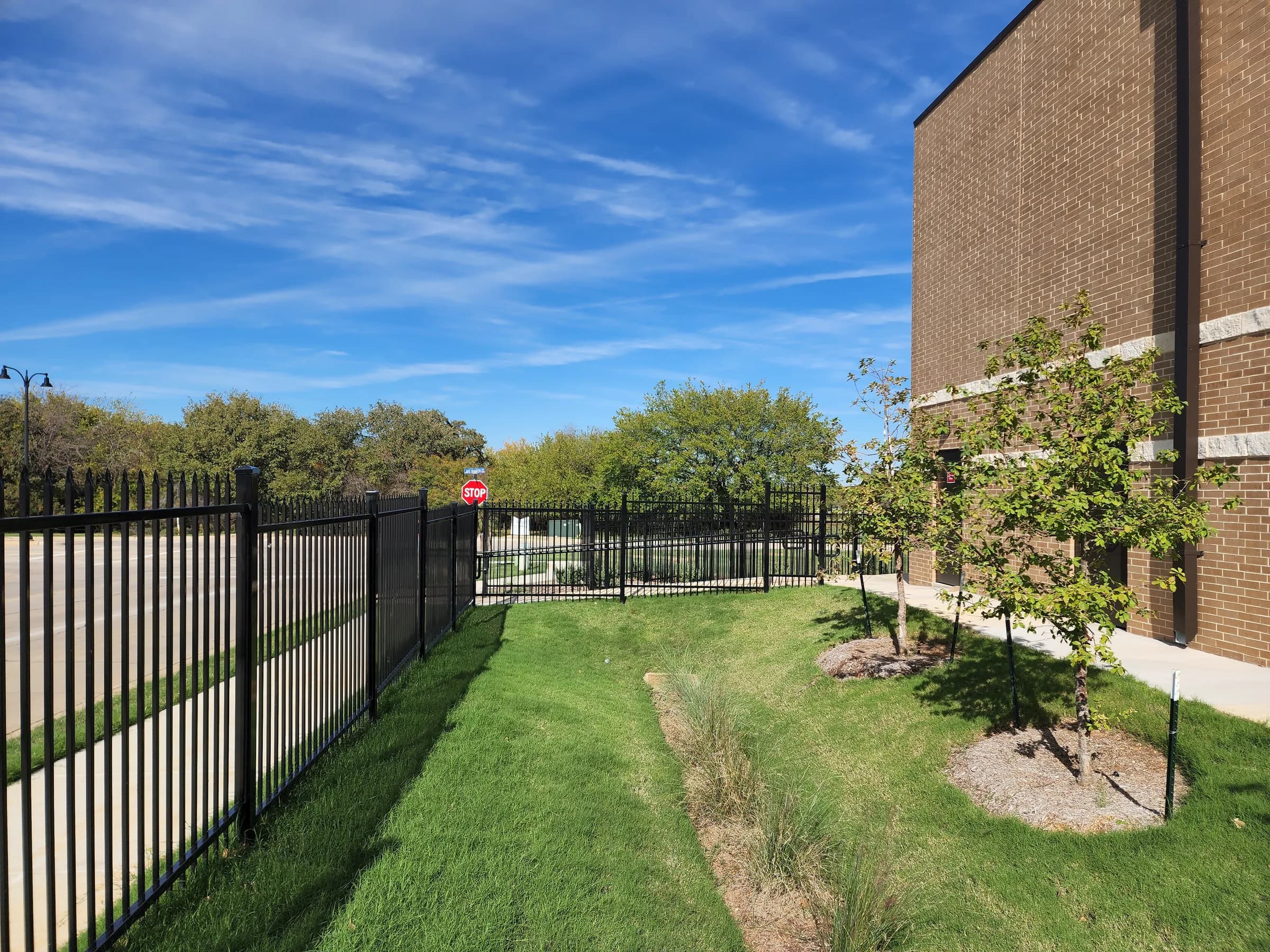
Grassed swale between an iron fence and a brick building, with young trees and a sidewalk under a blue sky.

What we do

Floodplain studies and FEMA submittals

What the floodplain means for your site, from the team designing your grading.

What this covers

Floodplain work sits inside our grading and drainage practice, so the flood answer and the site design come from one team. The first question is how flood conditions change the land you can use, the layout and the approvals you need.

Three levels of work

  • Floodplain determination. We check the FEMA flood map for the site and, in Texas, Base Level Engineering data where it exists, then tell you what the mapped zone means for your layout. Many sites need nothing more.
  • Drainage study and model update. When the design depends on flood elevations, we run the hydrology and hydraulics, update the HEC-RAS model and carry the results into the grading and detention design.
  • A FEMA map change based on fill. When the grading places fill to raise part of a site above the base flood elevation, we revise the grading plan and, once the fill is in, prepare the Letter of Map Revision based on Fill (LOMR-F), filed on FEMA’s MT-1 forms.

Who decides

In a community that takes part in the National Flood Insurance Program, building in a mapped floodplain needs a floodplain development permit from the local floodplain administrator. FEMA decides any change to its map. A mapped floodplain does not always rule a site out, and a map change is not always needed or available. When the flood study itself has to change, that is a different FEMA request, and we tell you which one your site needs.

What we need to start

The site location, any boundary and topographic survey, and the concept plan. With those, we can tell you whether the floodplain changes the layout and what the next step is.

Start with a first answer

An engineer reads your note and tells you the pathway, the agencies involved and what decides cost and schedule.

Talk to an engineer

Projects

Work like this

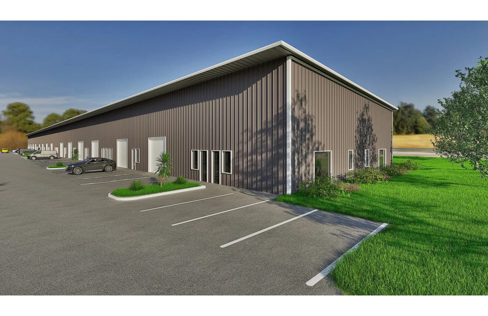
Rendering of a long metal-clad warehouse building with roll-up doors and a paved parking lot

Georgetown, TX

Mini-warehouse site entitlements in Georgetown, Texas

For nine warehouse buildings on 9 acres, MES sized the detention, built HEC-HMS and HEC-RAS models and wrote the drainage report for the plat. The rezoning is approved; the plat and site permit are pending. This is floodplain modeling within site design, not a FEMA map change.

Read the project
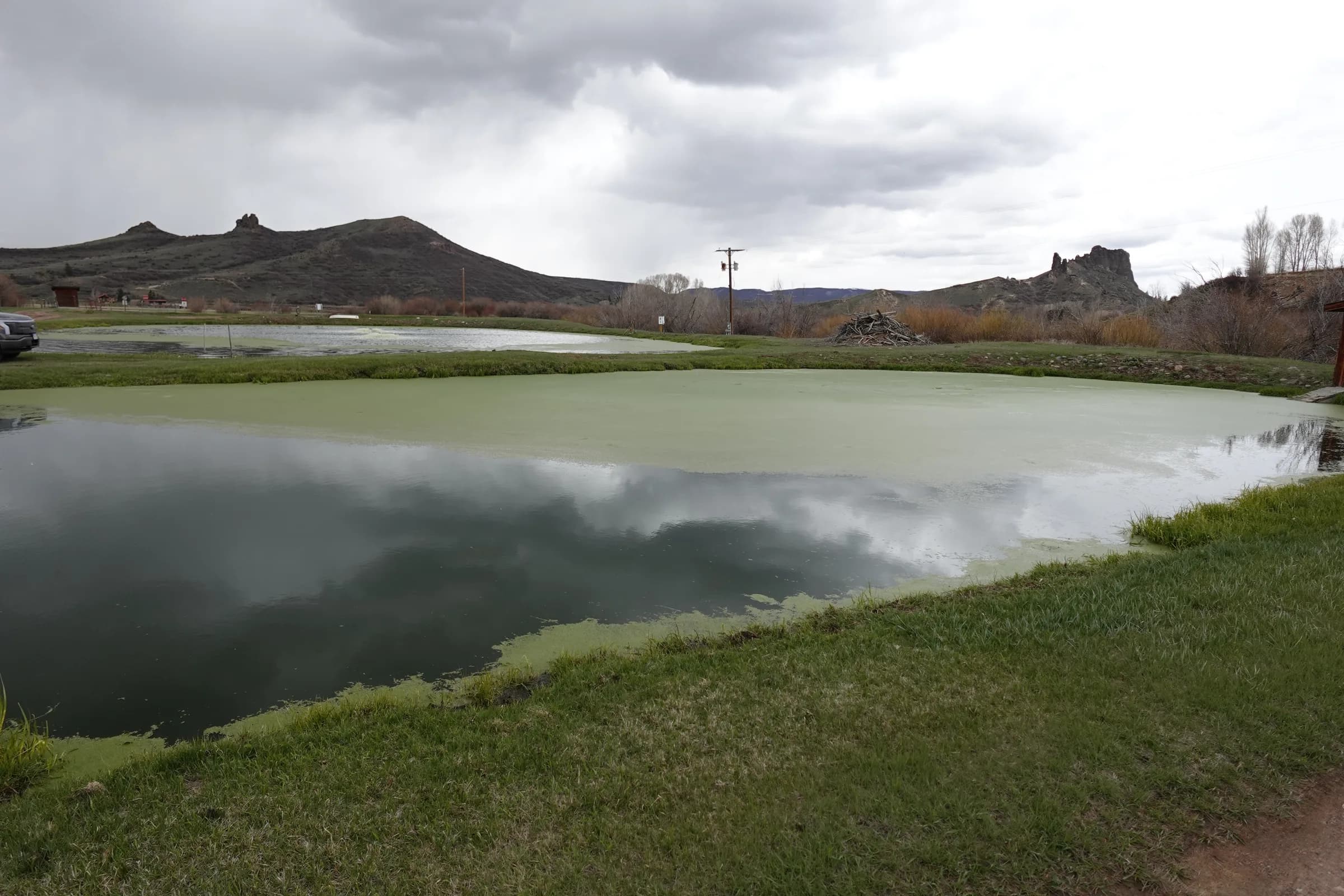
Two existing lagoon ponds with green algae on the surface in a grassy valley, with hills and a stormy sky behind

Yampa, CO

Town of Yampa wastewater plant and collection system

Civil design for the plant, including floodplain work and Yampa River sections. No FEMA map change.

Read the project
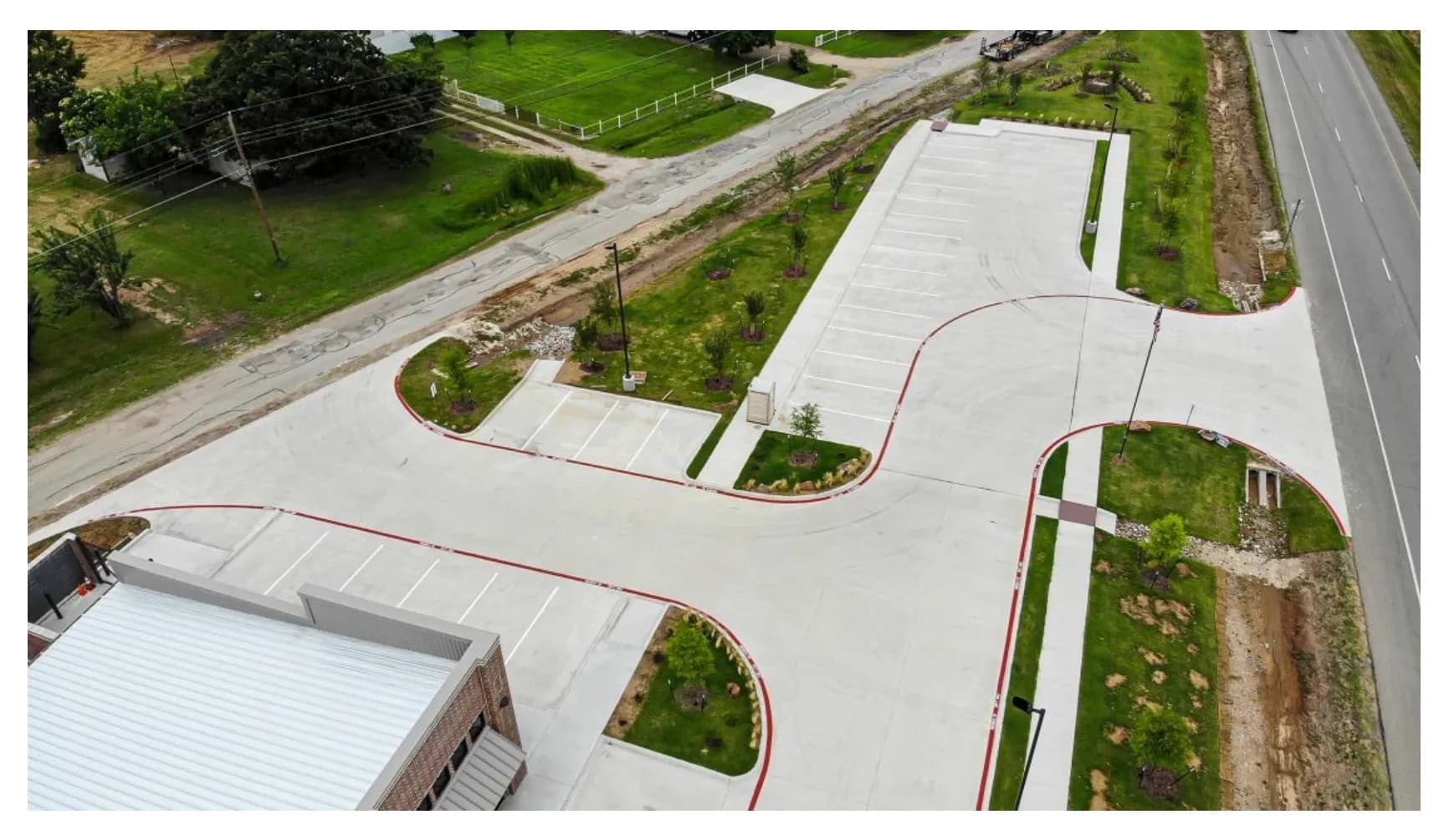
Aerial view of a finished concrete parking lot and drive with landscaped islands, light poles and a drainage swale beside a highway

Seagoville, TX

2-acre retail plaza in Seagoville, Texas

Streambank stabilization designed into a built retail site.

Read the project

Questions

Straight answers

Is my site in a floodplain?

We check the FEMA flood map and, in Texas, the state’s Base Level Engineering data, and tell you what it means for your site.

Can it be part of a larger site project?

Yes. It sits with our grading, drainage and detention design.

Does a mapped floodplain mean I can’t build?

Not always. It can shrink the usable area, raise the finished floor elevations or add a permit. We tell you which, from the flood map and the site survey.

Talk to an engineer

Tell us about your project

  1. An engineer reads it

    Not a salesperson. Someone who can tell you whether the pathway is real.

  2. You get a first answer

    Your options, the agencies involved and the questions that decide cost and schedule.

  3. You decide

    No commitment to have the first call.

Prefer the phone? (214) 833-6748

Site location, what you are trying to build, and your deadline.

Plans, a site map or photos: up to 5 files, 10 MB each.

Read our privacy policy.