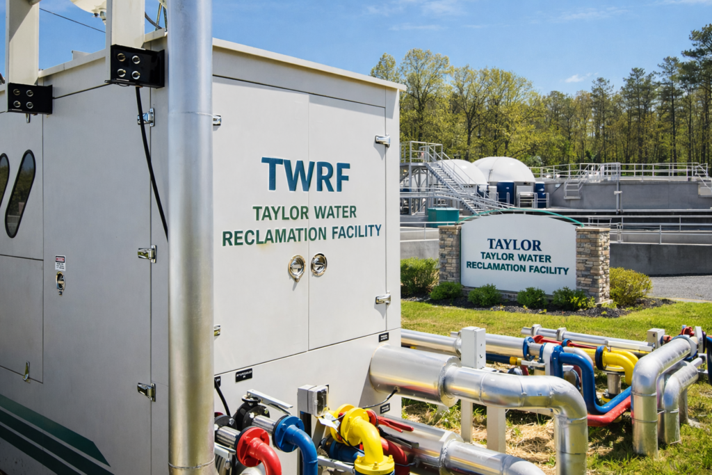
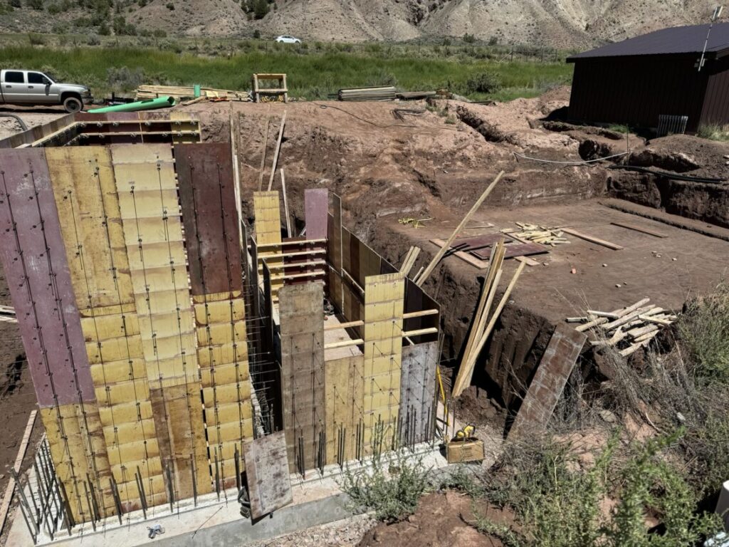
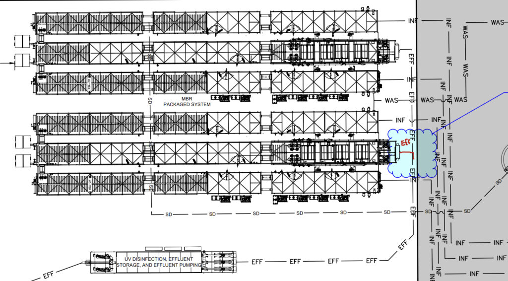
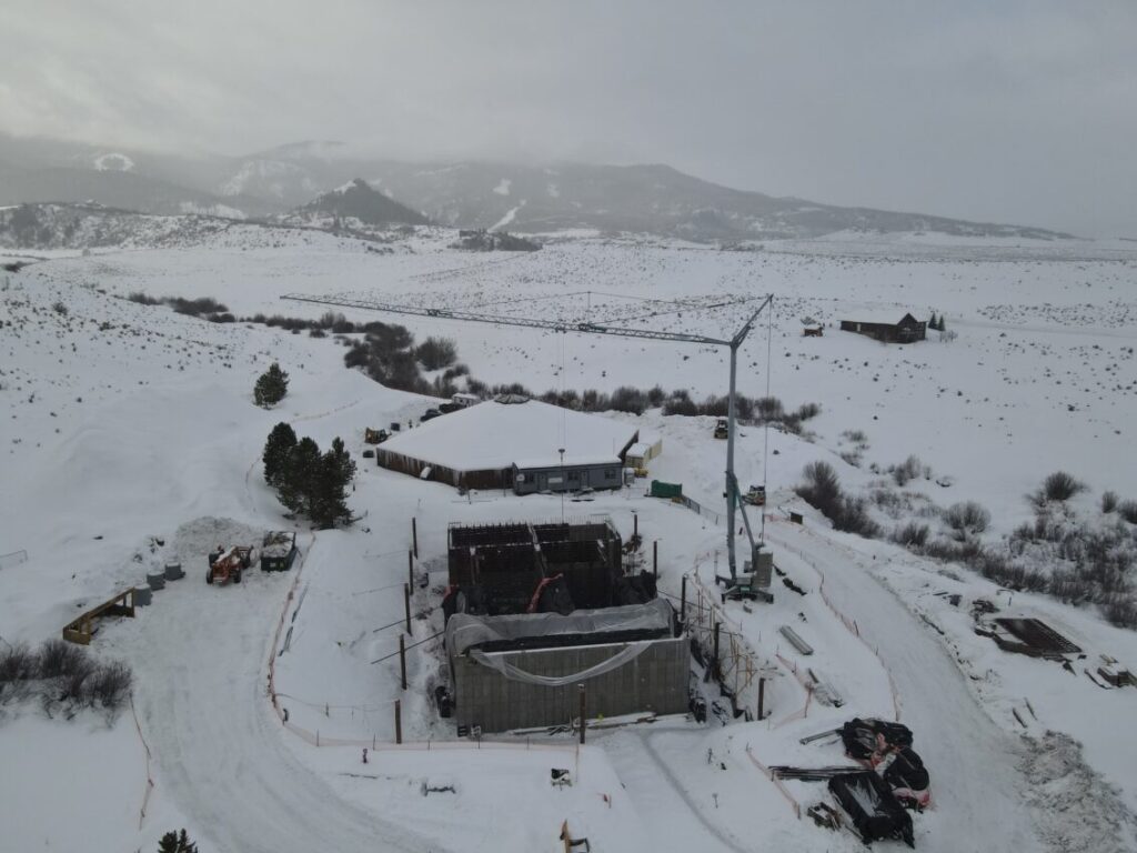
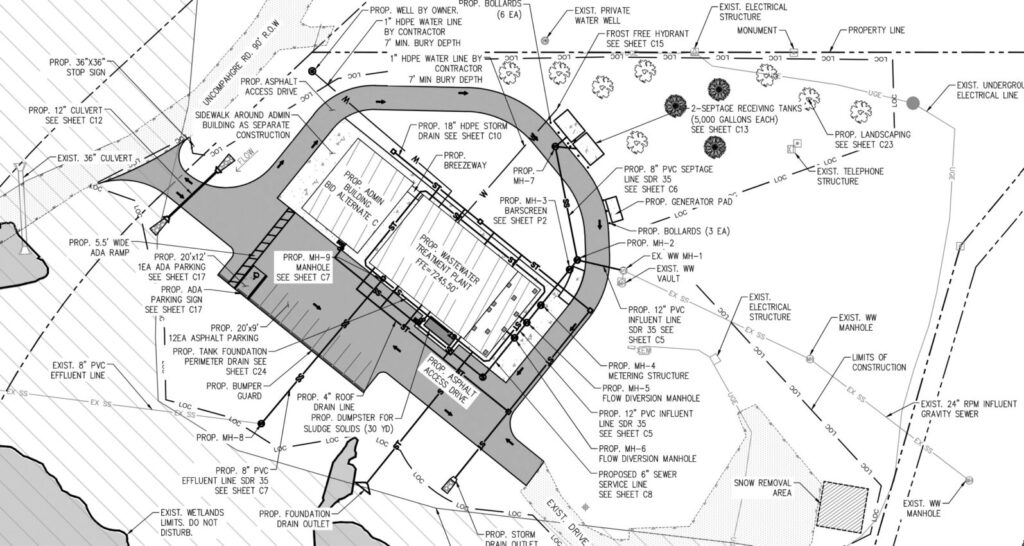
Taylor Water Reclamation Facility
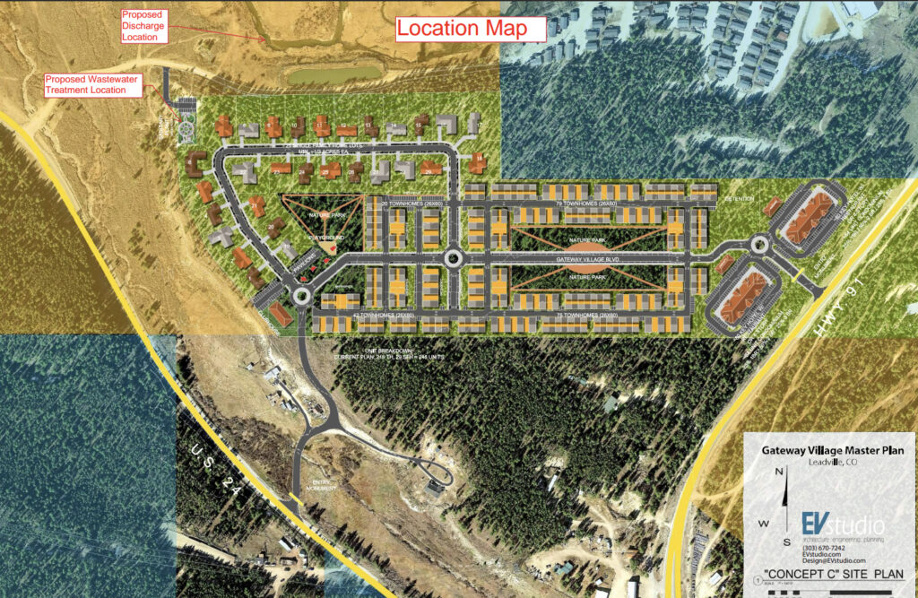
Gateway Water Reclamation Facility
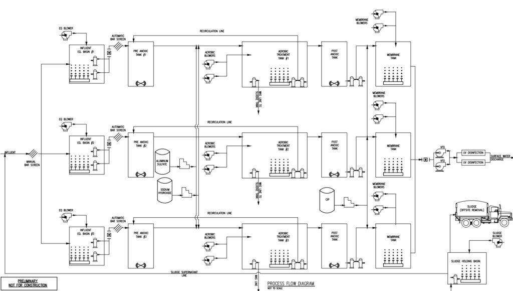
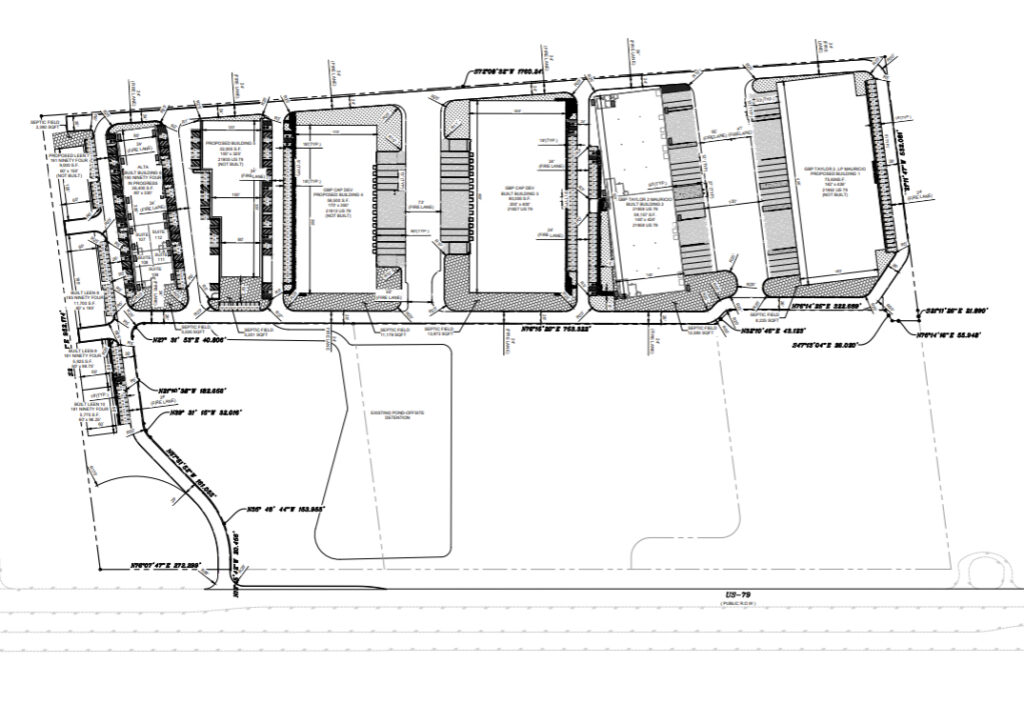
Bradley Business Park Water Reclamation Facility
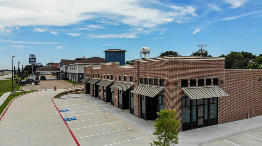
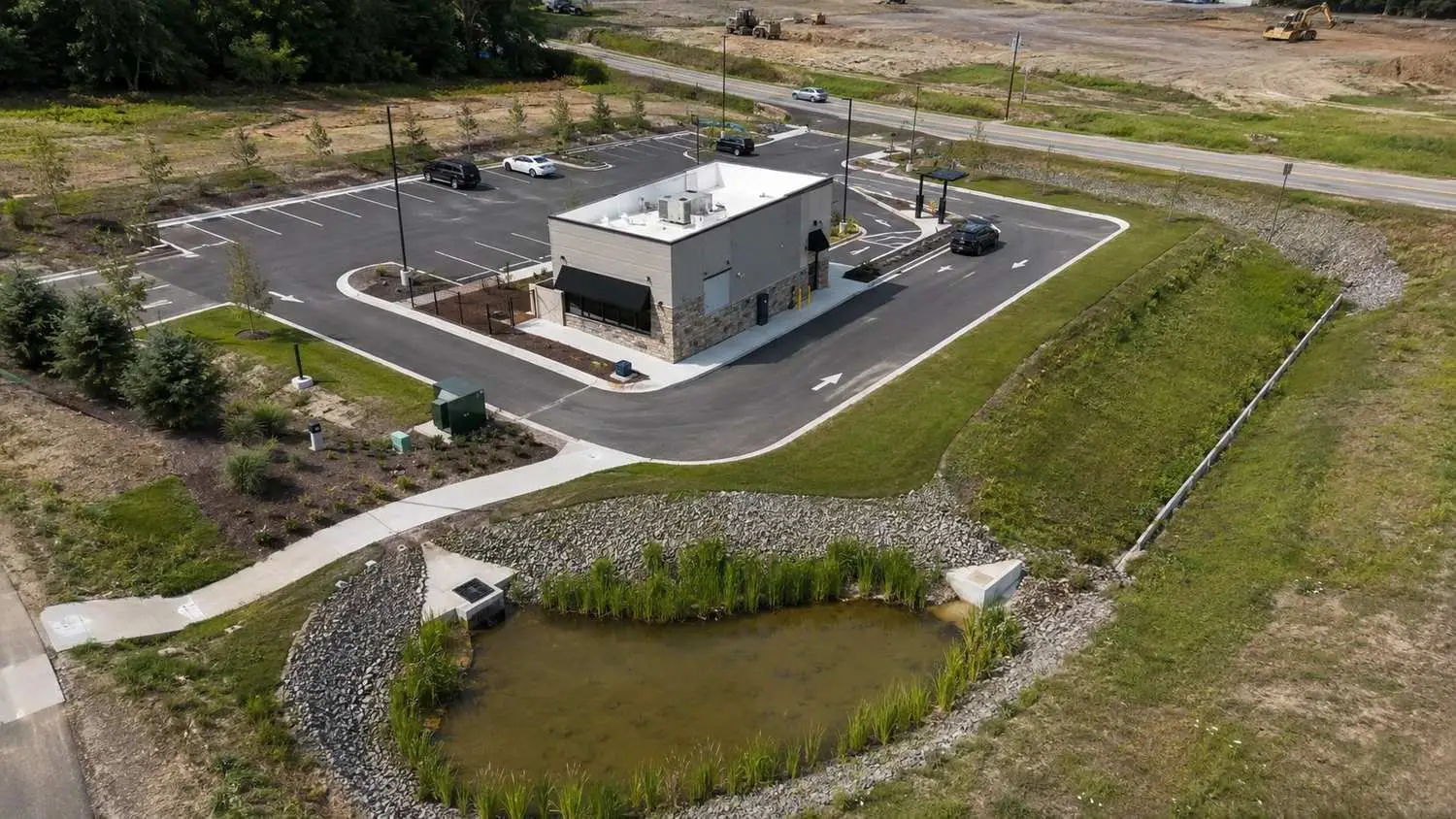
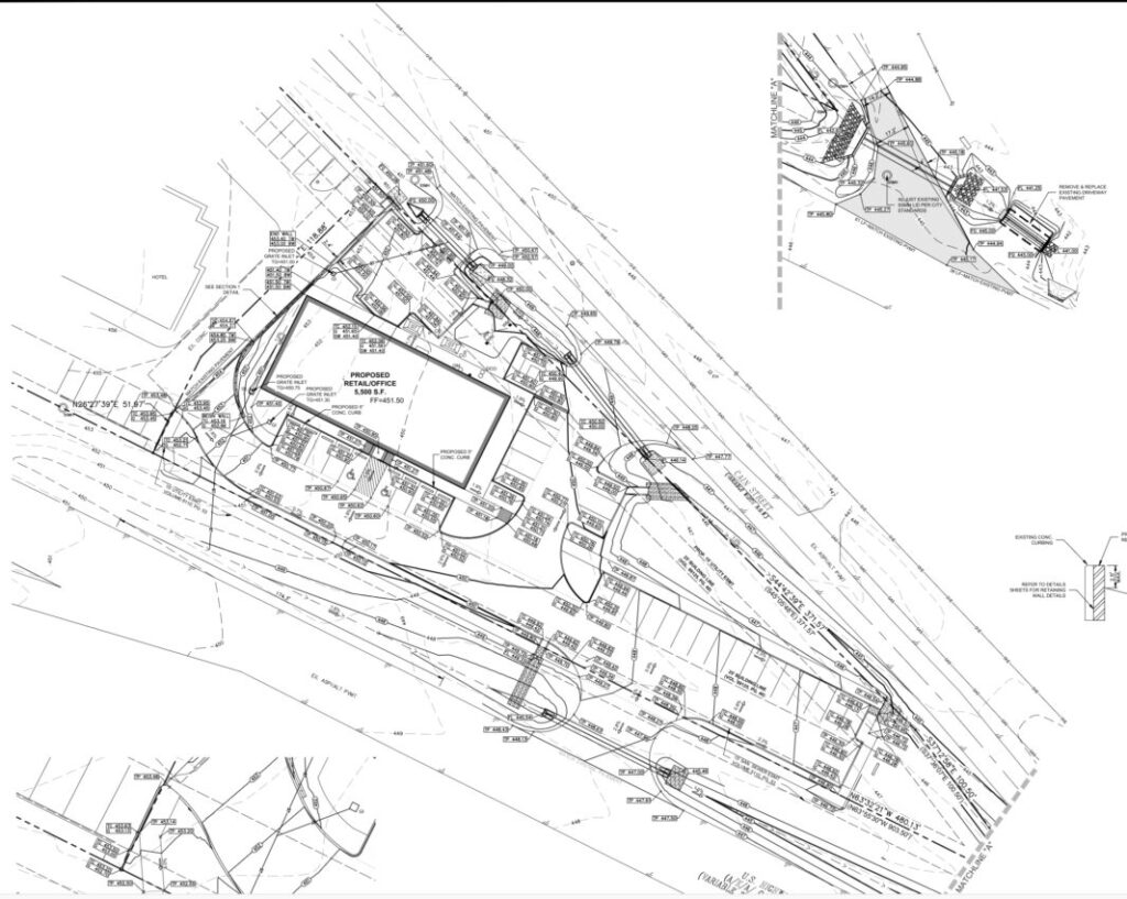
Trinity Retail Plaza
Bailey Ranch Estates

Magnolia Center
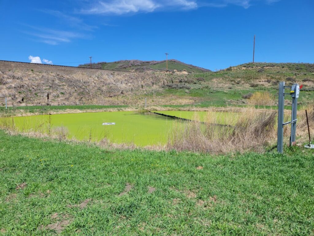
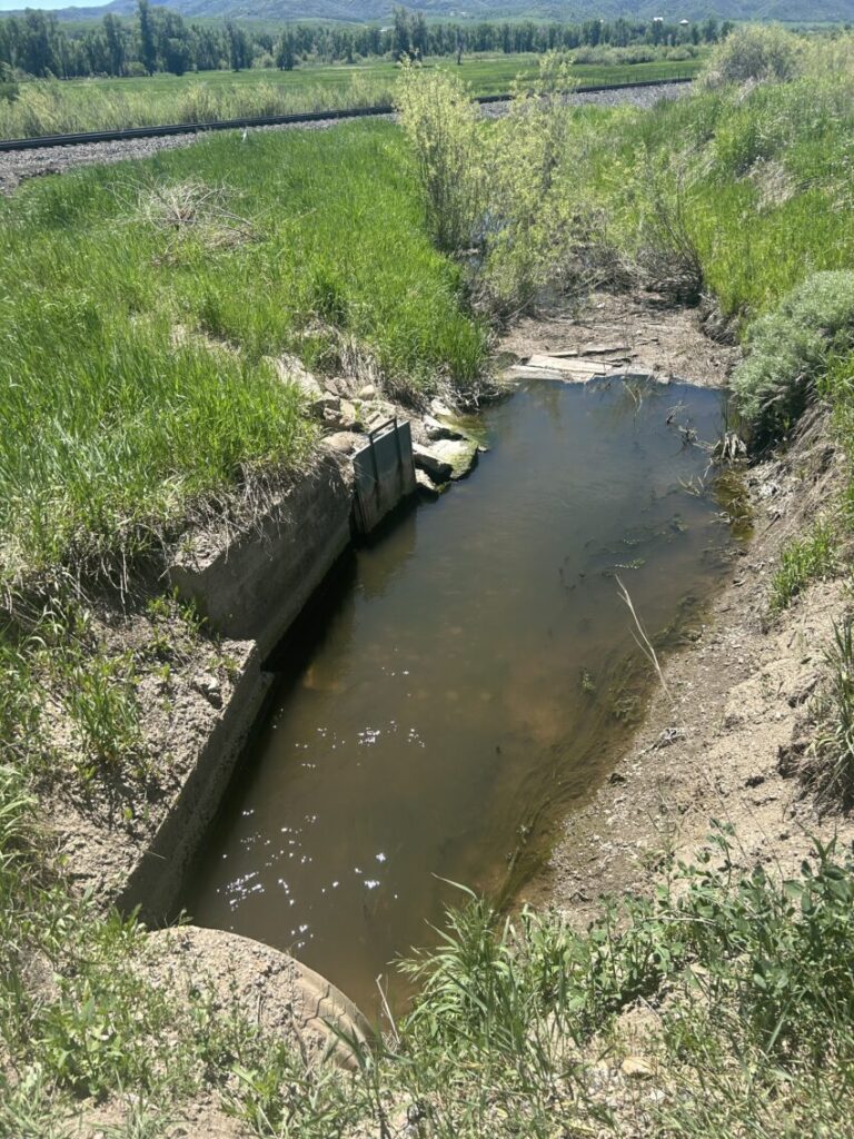
Town of Oak Creek Infiltration and Inflow (I&I) and Water Loss Analysis
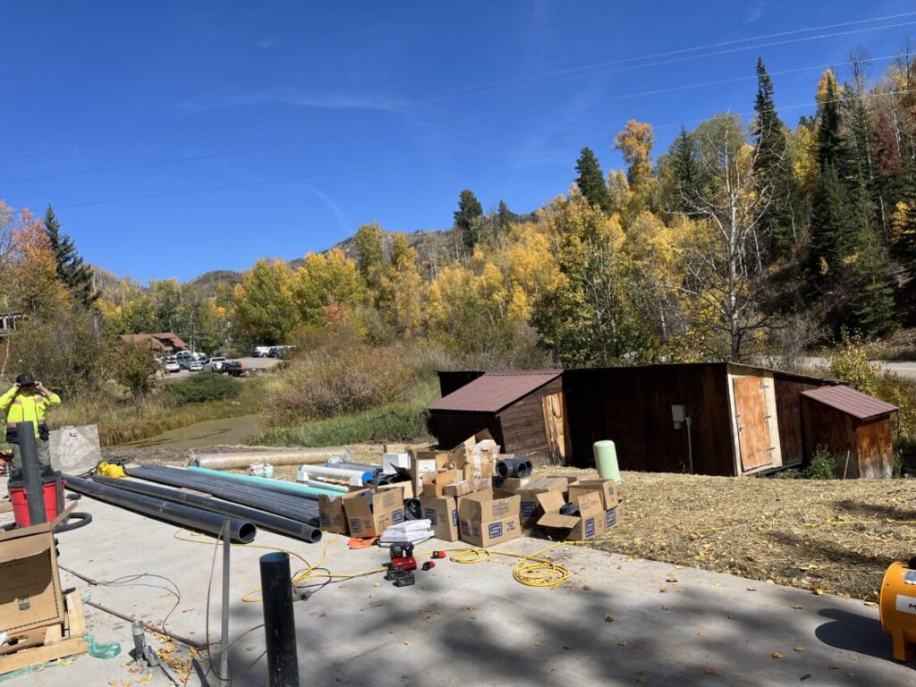
Steamboat Mountain School Wastewater Treatment Plant
Phippsburg and Milner Wastewater Treatment Plants

Town of Yampa Wastewater Treatment Plant
Riverdance RV Park Wastewater Treatment Plant
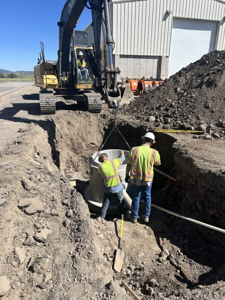
Town of Yampa Collection System Improvements
Phippsburg and Milner Collection System Improvements
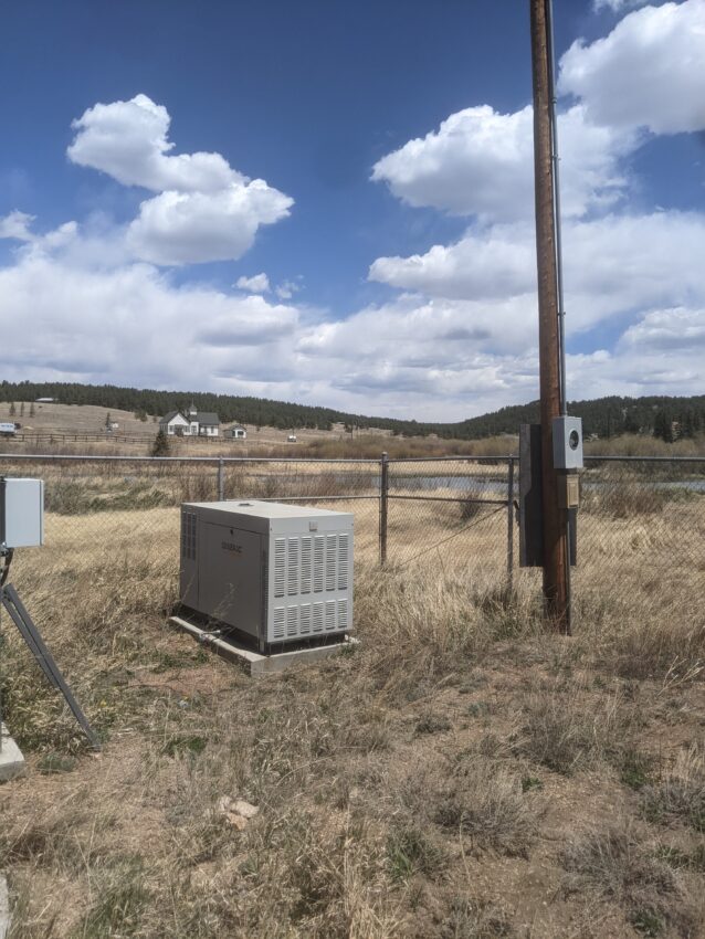
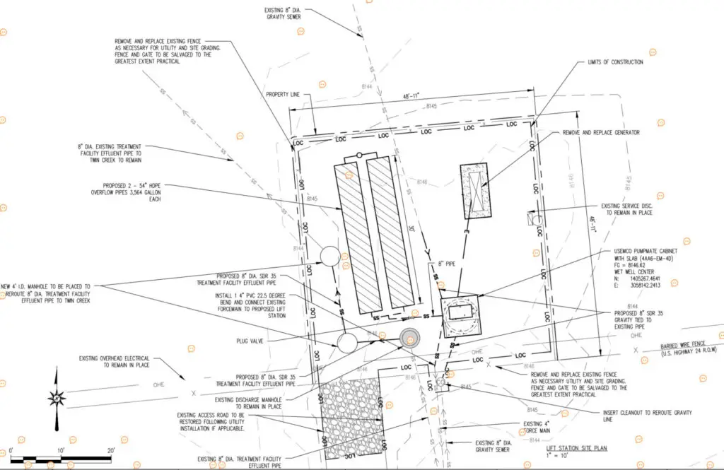
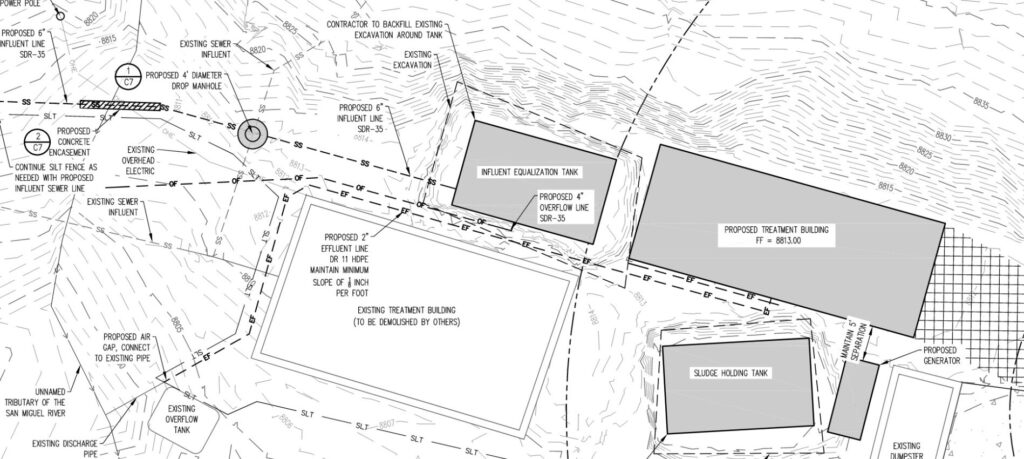
Florissant, Colorado Lift Station and Collection Design

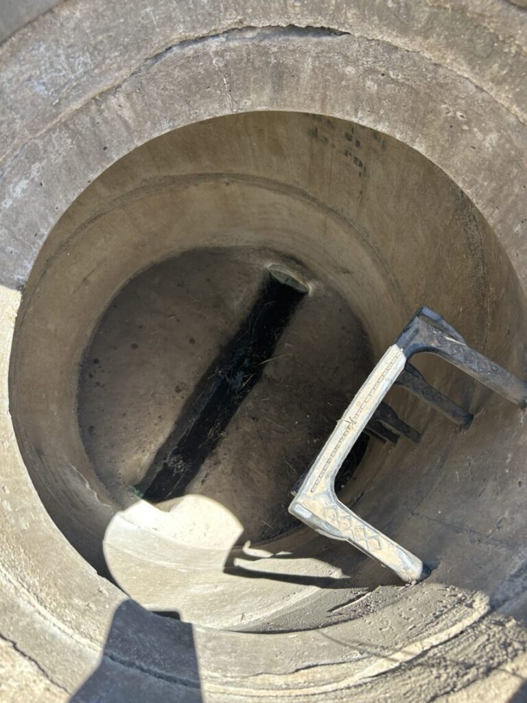
City Limits RV Park Lift Station
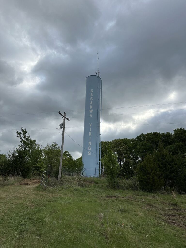
Sasakwa Water Tank Improvements

Bitter Creek Distribution Improvements

River Valley Wastewater Treatment Plant
Morrison Creek Metropolitan Water & Sanitation District Treatment Improvement

Arabian Acres Metropolitan District Distribution System Improvement
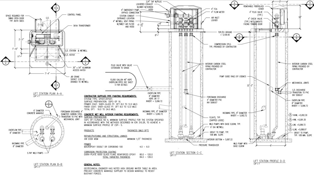
Prairie Corner Wastewater Lift Station

Last Dollar PUD HOA Wastewater Treatment Improvement
Belmar Library Grading

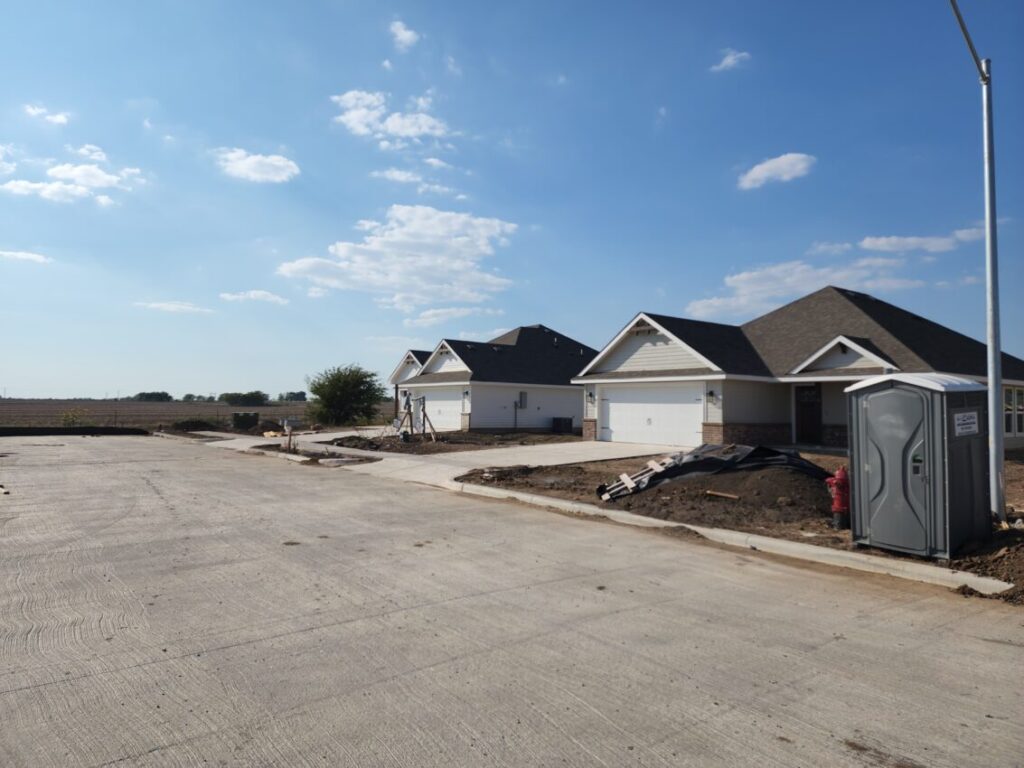
1711 Single Family Homes