
Site civil and land development

Drainage studies with sealed hydrology and hydraulic calculations

We calculate how your site changes its runoff, size the detention, pipes and culverts that handle it, and seal the study for the agency that reviews it.

What this covers

  • Drainage study with sealed hydrology and hydraulic calculations

What a drainage study is

A drainage study compares the site's runoff before and after development and shows how the design handles the difference. The hydrology finds the peak flows. The hydraulics size the detention pond, storm sewer, culverts and swales that carry them. We write it to the criteria manual of the city or county that will review it, because that manual sets the design storms, the runoff method and the release rate.

When you need one

  • The city or county asks for it with the site plan or plat.
  • Water arrives from off site, or the site drains to a creek with an unstable bank.
  • The site is flat and ponds, or part of it sits in a mapped floodplain.

What we do

  1. Delineate the basins before and after development from your survey and the NRCS soil survey.
  2. Build the storm model. HEC-HMS for hydrology, and HEC-RAS where a stream needs it.
  3. Size the controls: a detention pond with its outfall structure, a level spreader where flow leaves the site, and the pipes, culverts and swales.
  4. Tie it to the grading, so the plan sends water where the calculations assume it goes.
  5. Check and seal. The engineer runs every number, a second reviewer checks the study, and it is sealed when it goes to the agency.
  6. Answer review. We update the study and the plans each round.

What you get

  • A sealed drainage study or report with its hydrology and hydraulic calculations.
  • Pre- and post-development drainage area maps with the model results.
  • Detention, storm sewer and culvert design carried into the civil set.

What affects time and cost

  • The criteria manual. Each city and county sets its own storms and release rates.
  • Off-site water. Flow arriving from neighbors has to be carried or detained too.
  • Streams and floodplains. A stream model or a FEMA submittal adds work. See floodplain studies.
  • The survey. Basins and storage come from the ground surface, so a new surface means new numbers.
  • Construction stormwater. A site that disturbs one acre or more needs coverage under TCEQ's general permit, TXR150000.

All site civil and land development services

Start with a first answer

An engineer reads your note and tells you the pathway, the agencies involved and what decides cost and schedule.

Talk to an engineer

Projects

Work like this

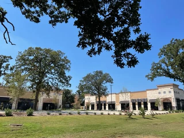
Finished stone and brick commercial buildings with landscaped grounds and mature oak trees under a clear blue sky.

Corinth, TX

2.67-acre office and retail center on I-35 in Corinth, TX

A 2.67-acre office and retail center in Corinth, Texas, won its I-35 frontage driveway approval and was built.

Read the project
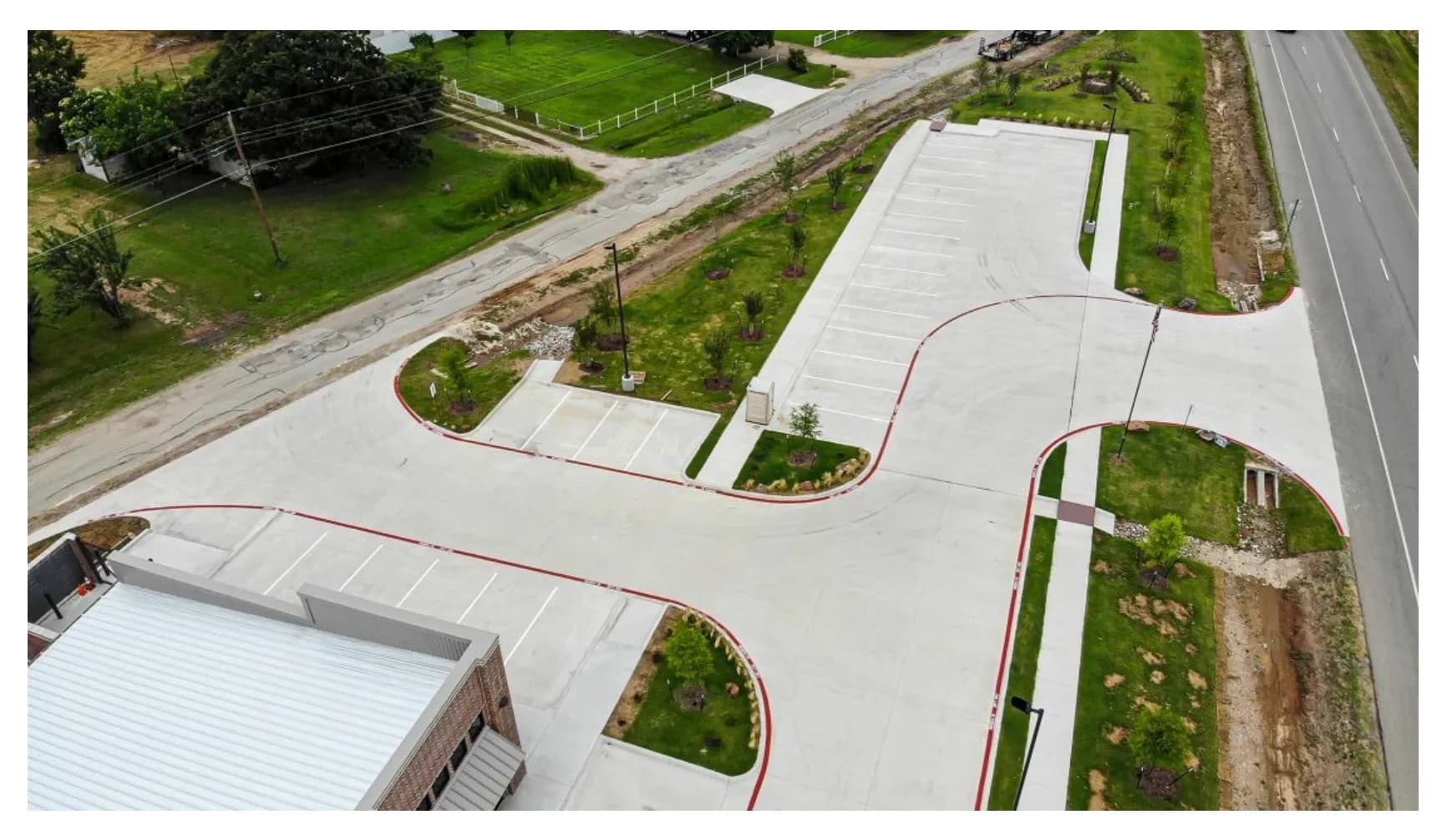
Aerial view of a finished concrete parking lot and drive with landscaped islands, light poles and a drainage swale beside a highway

Seagoville, TX

2-acre retail plaza with streambank stabilization in Seagoville, Texas

A 2-acre shopping plaza, now built, with paving, grading, utilities, drainage and streambank stabilization designed by MES.

Read the project
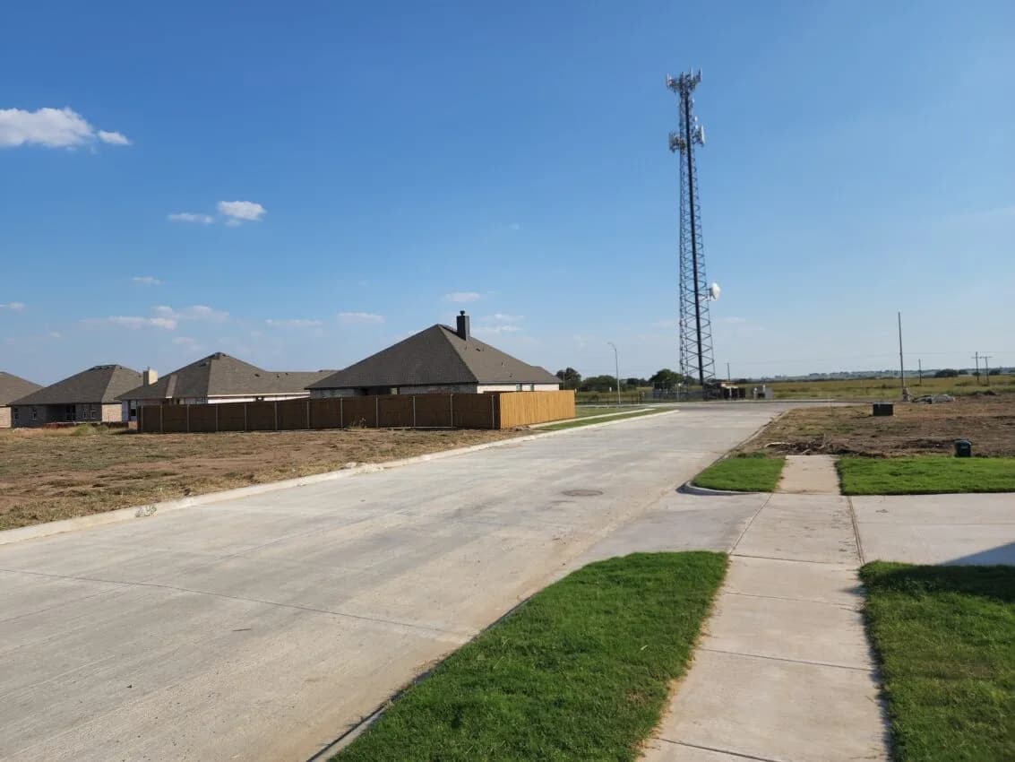
New concrete residential street with sidewalks and sod beside finished homes and graded lots

Lindsay, TX

48-lot subdivision with a future industrial site in Lindsay, Texas

MES planned 48 home lots and a 2.5-acre future industrial site in Lindsay, Texas, and designed the detention pond, water line extension and sewer.

Read the project

Talk to an engineer

Tell us about your project

  1. An engineer reads it

    Not a salesperson. Someone who can tell you whether the pathway is real.

  2. You get a first answer

    Your options, the agencies involved and the questions that decide cost and schedule.

  3. You decide

    No commitment to have the first call.

Prefer the phone? (214) 833-6748

Site location, what you are trying to build, and your deadline.

Plans, a site map or photos: up to 5 files, 10 MB each.

Read our privacy policy.